|
TRIP-AT-A-GLANCE: Caddo River (Caddo Gap to Glenwood)
|
|
DATE / TIME
|
6/26/2026
|
|
PUT-IN
|
Caddo Gap "Swinging Bridge" River Access
|
|
TAKE-OUT
|
Glenwood River Access
|
|
GAGE
|
6.1' - Caddo River near Caddo Gap, AR - USGS-07359610
|
|
FLOW / DISCHARGE
|
354 CFS - Caddo River near Caddo Gap, AR - USGS-07359610
|
|
AIR TEMPERATURE
|
74°F-77°F
|
|
PRECIPITATION
|
None
|
|
WIND
|
frequent light breeze from downstream
|
|
PARTICIPANTS
|
Sam Reyna and Kent Walters
|
|
VESSLE TYPES
|
Liquid Logic Remix XP9 and a Dagger Katana
|
|
CLOUDS
|
good cloud cover for all but about 2 minutes of sunshine
|
|
Paddling MILES
|
10.24 (copied from last trip's GPS reading)
|
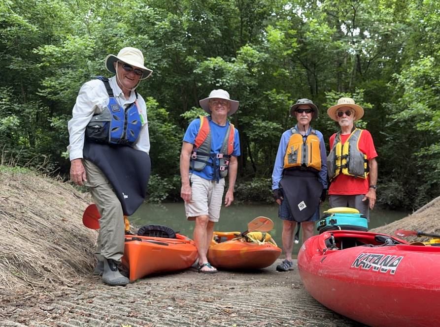
I titled this trip “Surf’s Up” – a reference to my younger days in Southern California when that was an excuse to sideline anything I didn’t want to do and go do the thing that made life worth living. The rain came to the Caddo River watershed, pushing the gage momentarily to just over 9’, receding to 7’ on a day when I could not go, leaving a gage of 6’ for today, which is a good level for the Swinging Bridge to Glenwood reach.
Sam and I picked up a couple of stragglers at the shuttle start – Calvin and a new guy, Richard Schmidt. We were on the water by about 9:40, and all of us were able to paddle the little 100-yard section successfully (without having to get out of our kayaks). This portended a great trip.
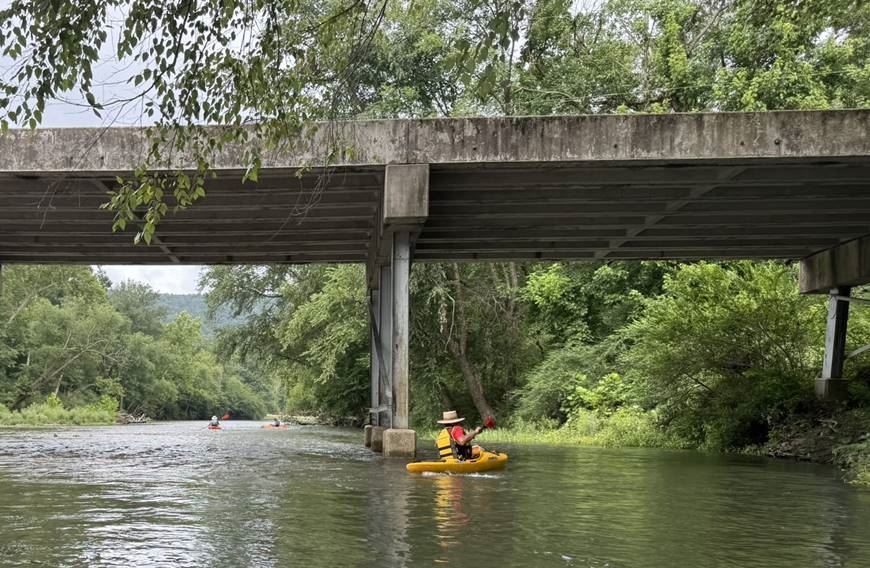
Sam paddling under the bridge at Caddo Gap
It was a perfect day, with good, solid cloud cover and a light breeze to keep us cool. The bright new greens of spring had given way to the new summer greenery that completely covered the untamed banks. Come to think of it, we did not see much in the way of wildlife – just one great blue heron, one little blue heron, a hawk and a turtle – all of them outside of the lush growth to the sides of us.
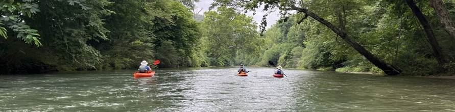
Sam took this photo – L to R Richard, Calvin, Kent
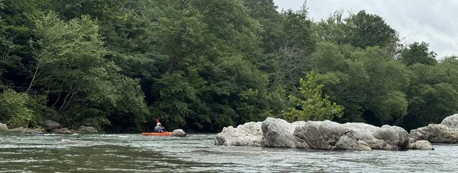
Richard dodging rocks
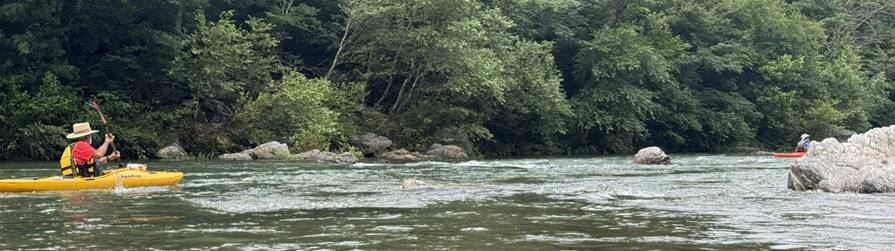
Sam entering the same stretch
Besides us, there were only a couple of fishermen, until we reached the first outfitter location about a mile below our launch:
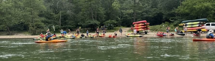
Calvin paddling past a busy time at the outfitters
Fortunately, we passed before much of the angry herd got on the water. We passed a few couples, but were not inundated by music we didn’t like or strange smells of unidentified smoke clouds.
As is always the case on the Caddo River, there was much to keep our attention. Besides looking for eagles that never materialized, there were rock gardens and ledges with drops, as well as a few strainers.
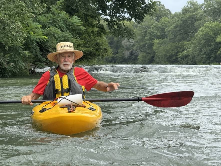
Sam after running the drop behind him
We negotiated them all without much trouble, and at one point we passed a small group of teenagers who did not fare so well. They were dumping the water out of a partially buckled canoe.
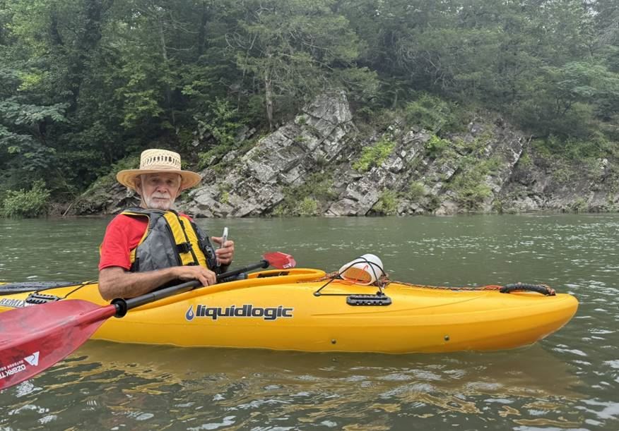
Sam in front of a dramatic uplift
We paddled on, enjoying the beautiful scenery until about 11:15 when we took a lunch break across from some interesting rocks.
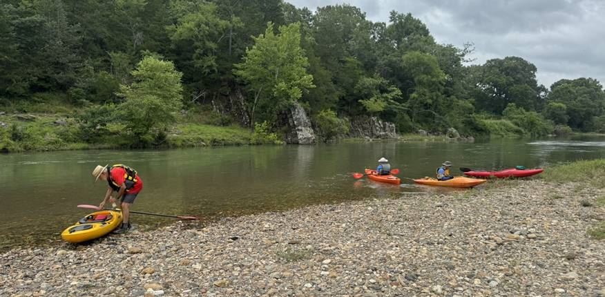
Our lunch site
After lunch, we paddled on down through more amazing scenery with the temperature still very comfortable.
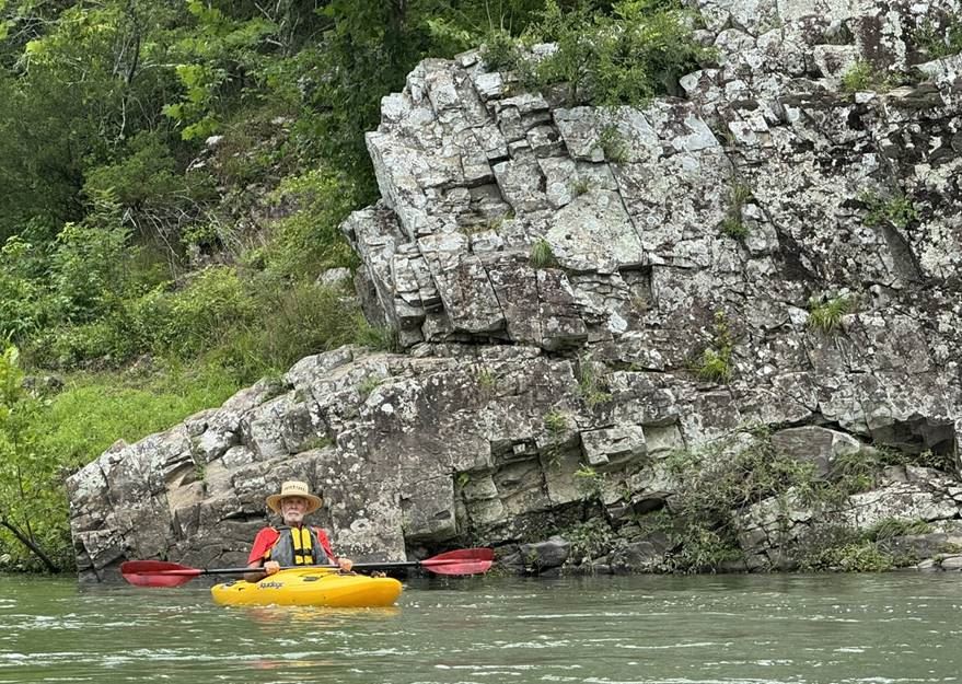
Sam in front of a rocky outcrop
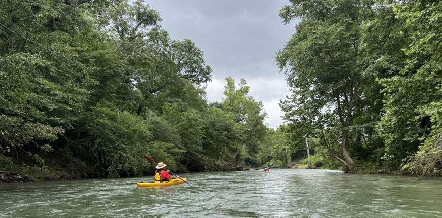
Rolling on the river
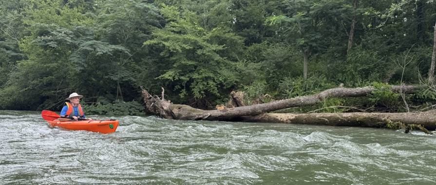
Richard in some slightly troubled waters
Soon we came to the sequence that indicated just a couple of miles remaining – a gorgeous 200-yard tunnel of green, followed by some cleared sites for vacation homes on river left, then some built vacation homes on river left, then another 100-yard green tunnel with a sharp right turn into a short, fast channel with a stump in the middle sticking up 5 feet, then a sharp turn into a sweeping curve that takes you to a quarter of a mile of straight channel with a high bank on the left with lots of Glenwood on top, leading to the main highway bridge, then a sharp left in a huge pool against a very high, steep bank with a white Victorian house looking down at you, which carries you past an RV park and then into some flatish wetlands, and then, after about a quarter of a mile, past a railroad trestle to the gentle take-out on river left.
It was a great day with ideal weather and good people.
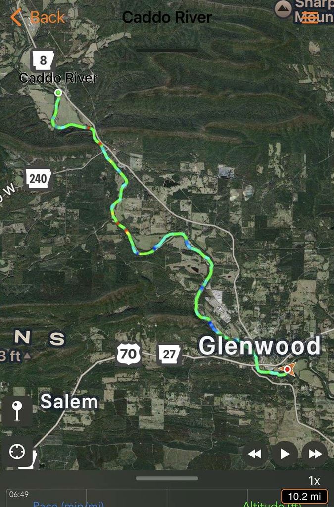
GPS track from April 29 – same route as today (I forgot to turn it on this trip)
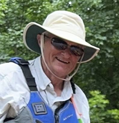
Author and trip coordinator Kent Walters