San Bernard River
Bates Allen County Park
Trip Report by Christy Long—May 1, 2026
|
Put-in
|
Bates Allen County Park
|
|
Take-out
|
Same
|
|
Fees or Permits
|
None
|
|
Gage
|
USGS River level at 4.2 ft on USGS station 08117500 near Boling, TX.
|
|
Temperature
|
60 to 70 deg F
|
|
Sky
|
Cloudy, cool, gray
|
|
Precipitation
|
Scattered rain
|
|
Wind
|
none
|
|
Coordinator
|
Christy Long
|
|
HCC Participants
|
Christy Long, Natalie Wiest
|
|
Craft
|
2 kayaks
|
|
River Miles
|
4
|
|
HCC Club Miles
|
8
|
|
Road Miles
|
100 miles from Pearland and Back
|
|
Guide Book
|
Canoeing and Kayaking Houston Waterways by Natalie Wiest
|
|
Photos
|
HCC website site
|
On Friday, May 1, after consulting hour by hour weather reports and river levels upstream of put in, Natalie Wiest and I decided to paddle the San Bernard River, out and back from Bates Allen Park.
We planned to get there, paddle, and leave before rain hit the area. It did rain on us at the end of the trip while loading, but that was nothing.
The river level was just right, and we were able to go downstream to the low water bridge and then upstream to a bend upstream of I59. The rain started about half a mile from Bates Allen Park and was steady.
It was a slow paddle until the rain. We also saw hanging from a limb, a bird with the tip of one wing tangled in monofilament. Natalie rescued the bird and floated it to the bank.
We were off the river by noon. Photos on the HCC website.
This was a scheduled HCC trip that was cancelled because of impending hard rain during the day, in that area.
The club trip was rescheduled for June 1.
Unless otherwise noted, all images are by Christy Long.
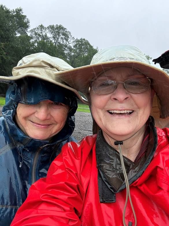
From Left Natalie Wiest and Christy Long
Braving the weather. No bad weather only bad gear.
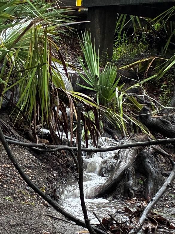
Water draining from the parking lot into the river
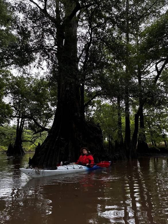
Christy in front of base of Cypress Tree
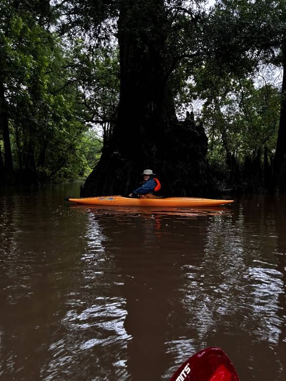
Natalie Wiest comparing boat lenth to width of the tree base.
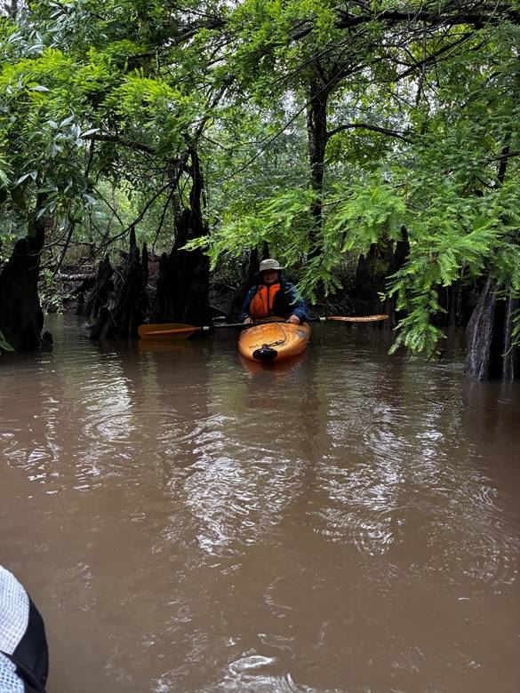
Natalie Weist tucked away in the Cypress overhang
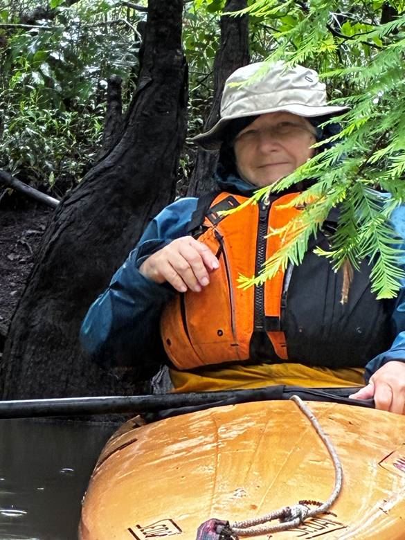
A close up of Natalie Weist tucked away in the Cypress overhang
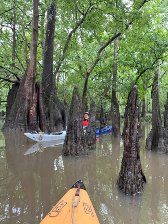
Christy Long among the cypress knees.
Supplemental Trip Report by Natalie Wiest:
The San Bernard and “blue hole” in the rain
With heavy rain in the forecast for Christy Long’s proposed May 1 HCC trip, all other participants cancelled but Christy and I decided we’d go for it anyway. We’re both very experienced and have good quality rain gear, so why not? As you can see from her temperature report, it was a relatively cool day and very amenable to wearing serious weather gear.
There is an appeal to paddling in the rain – the hushed silence of the world, the pitter-patter of rain drops on the water and boat deck, the feeling of being enclosed in one’s own bubble of river reverie. All good, and as we pushed off the gentle rain let up but the heavy cloud cover kept the temperature very comfortable.
Almost all of the photos are from Christy – my waterproof camera had gone missing, and I didn’t have a cover for my cell phone so here is a shot at the put in and the dock overlooking the river:
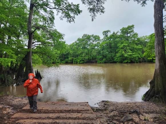
Christy walking from the river.
Photo by Natalie Wiest
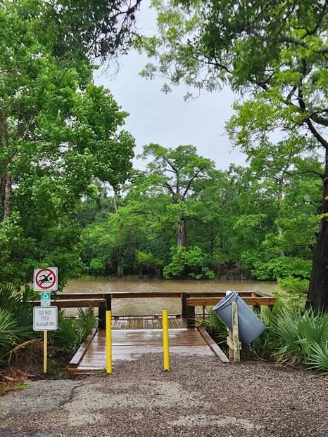
Photo By Natalie Wiest
Fishing Pier.
We paid heed to not feed the alligators, and as it turned out, we didn’t need to swim in the water to feel fully immersed.
We first headed downstream but within a mile came to a downed tree in the water that stopped us from going farther. The water was lovely and placid, so we headed back past the put in to see how far upstream we could go, at least as far as paddling under the Hwy 59/I-69 and railroad bridges. That’s when things got a lot more interesting. First off, and very disappointingly, the sickening sight of an immature night heron dangling 6-feet up by one wing tethered by fishing line from an overhanging branch. It was flopping about and obviously exhausted. Luckily or not, I had a knife and was able to cut the line, lower the bird to water level and get it to a resting place on shore. I cut the line as close as I felt safe to do so but I’m not sure the bird survived.
We were easily able to paddle under the bridges, noting the increasing black clouds overhead. As we turned around and headed back, an ear-splitting thunderclap and brilliant white light came from the downstream edge of the bridges. Egads, it was a lightning strike on the transformer, followed by fire. We were both astonished and weighing our chances of how we’d get safely downstream. Not to worry, the heavens let loose and a deluge ensued. Even with good rain gear, we got thoroughly soaked. I would imagine parking under a waterfall would be a similar experience. Thankfully both of us were paddling kayaks with spray skirts or our boats surely would have filled with water. Christy captured the image of the mini-waterfall coming from the parking area to the river at our takeout. I love her selfie of the two of us smiling in the rain. It was really a fun trip and I know we’d do it again. Sorry you missed it!
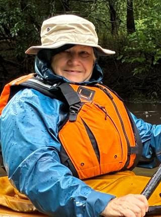
Natalie Wiest
Undeterred by weather paddler
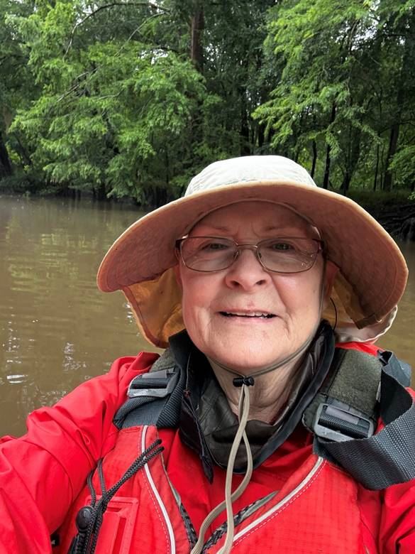
Christy Long Selfie
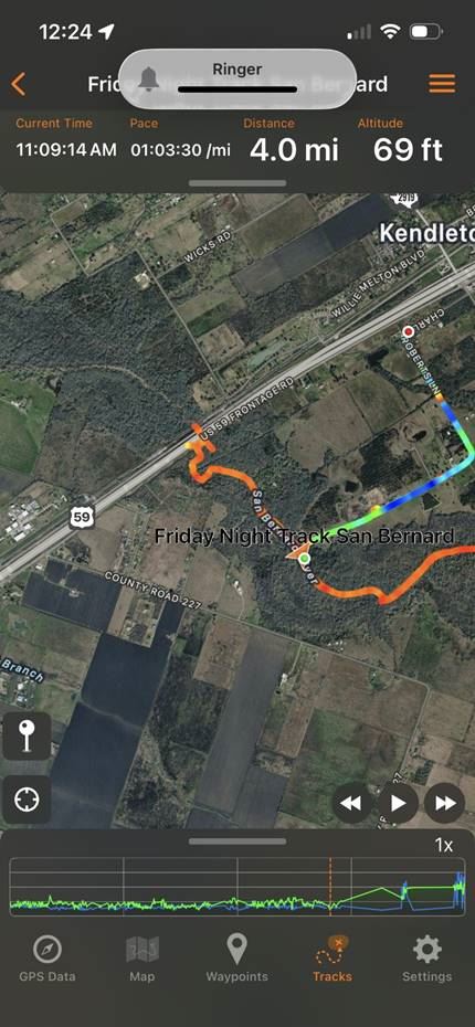
GPS Tra ck form GPS Tracks.
GPS Tracks was very easy to use with just the bare minimum of information. I am using the free version. It showed we paddled 4 miles in 2 hours and 30 minutes.